Cartographic Warfare: How Revisionist States Weaponize Digital Maps and Territorial Nomenclature Without Firing a Shot
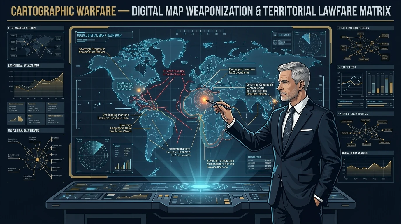
Cartographic warfare is the systematic weaponization of digital maps, state-mandated geographic nomenclature, and international navigational datasets to establish de facto sovereign claims over disputed territories without initiating kinetic combat. By codifying revisionist boundaries into commercial GPS systems, sovereign search engines, and multilateral technical standards, revisionist powers construct an alternate legal and cognitive reality that gradually normalizes territorial conquest.
Executive Assessment & Epistemic Frame
Executive Assessment: Cartographic warfare is the deliberate weaponization of geographic maps, topographic datasets, and territorial nomenclature to unilaterally alter the sovereign status quo without firing a shot. Revisionist states exploit international legal ambiguities, dynamic digital mapping APIs (Google Maps, Apple Maps, OpenStreetMap), and corporate compliance pressures to force global acceptance of contested borders, constructing a foundation of administrative legitimacy before kinetic or grey-zone consolidation takes place.
Analytical Confidence: HIGH | Multi-year documentary and legislative evidence across the Ministry of Natural Resources (China), Survey of India disputes, and ASEAN maritime boundary protests confirms coordinated cartographic revisionism.
Key Uncertainty: The degree to which Western digital platforms and international maritime charting authorities will enforce sovereign pushback versus succumbing to economic coercion and market access bans.
China's Ministry of Natural Resources issues annual 'Standard National Maps' incorporating disputed Himalayan territories, the 10-dash South China Sea line, and renamed geographic landmarks under mandatory domestic Map Technical Standards.
This represents a sophisticated branch of non-kinetic lawfare. By embedding revisionist cartography into commercial navigational datasets, search engines, and textbooks, the state aims to normalize its administrative reality across international public consciousness.
If left uncontested, digital cartographic dominance erodes the legal standing of targeted sovereign states in international arbitration forums and creates administrative precedent that complicates collective defense responses.
1. The Anatomy of Cartographic Warfare: How Maps Precede Missiles
For centuries, cartography was treated as a descriptive science—an objective rendering of physical topography. In modern great-power competition, cartography has evolved into a proscriptive weapon. In our comprehensive framework on Grey Zone Warfare, cartographic assertion serves as the opening gambit: claiming sovereign jurisdiction on paper decades before moving troops or maritime militia onto the ground.
Cartographic warfare relies on the principle of constructivist sovereignty. If an aggressive power can convince global search engines, airline booking systems, international logistics companies, and academic institutions to display its claimed boundary lines, the international community begins to treat that claim as normal. When the state eventually deploys kinetic assets to enforce that line, the defender's response is paradoxically framed as a "disruption of the status quo."
2. The Four Tactical Pillars of Cartographic Coercion
| Tactical Pillar | Operational Mechanism | Primary Target Domain | Strategic Objective |
|---|---|---|---|
| 1. Nomenclature Weaponization | Systematic re-naming of towns, rivers, and peaks in foreign territory with mandarin / sovereign names. | Topographic databases & gazetteers (e.g. Arunachal Pradesh / Zangnan). | Fabricate historical linguistic claims for future arbitration dossiers. |
| 2. Digital Map API Coercion | Threatening Big Tech multinationals with market exclusion unless digital maps show state boundaries. | Global smartphone operating systems, GPS services, and cloud navigation. | Normalize revisionist boundaries in the pockets of billions of global consumers. |
| 3. Navigational & Maritime Lawfare | Publishing unilateral baseline coordinates and maritime safety zones over international waters. | IMO maritime charts, AIS tracking, and commercial shipping lanes. | Impose sovereign customs and inspection authority below the war threshold. |
| 4. Educational & Cultural Capture | Mandating that all international academic publications, textbooks, and movies include state maps. | Hollywood cinema, international journals, school geography curricula. | Erode defensive solidarity among future generations of allied populations. |
3. Case Study: The 10-Dash Line and the Himalayan Renaming Offensive
The South China Sea & the Ten-Dash Line
In August 2023, Beijing released its official Standard Map Edition, officially extending the historic nine-dash line to a ten-dash line encompassing Taiwan's eastern maritime approaches. Despite the 2016 Permanent Court of Arbitration ruling declaring the claims legally void under UNCLOS, Chinese state authorities enforce this boundary through commercial shipping regulations, foreign ministry diplomatic demarches, and naval harassment—directly supporting Beijing's commercial lawfare deterrence strategy.
The Himalayan Nomenclature War (Zangnan)
Along the Line of Actual Control (LAC), China's Ministry of Civil Affairs has released multiple batches of standardized Chinese names for dozens of mountains, rivers, and residential settlements located entirely inside the Indian state of Arunachal Pradesh. This nomenclature offensive is backed by China's Land Borders Law, which legally obligates state institutions to use standardized Chinese names in all domestic and international communications.
4. The Digital Frontier: Algorithmic Border Shifting
In the digital era, cartographic warfare is fought in code. Major digital mapping providers (Google Maps, Apple Maps, Microsoft Bing) often display localized borders depending on the IP address of the user accessing the map:
- A user in Beijing searching for Taiwan or the Line of Control sees an unbroken Chinese national border.
- A user in New Delhi sees the full Survey of India boundaries.
- A neutral user in Europe or the United States sees a dotted, disputed line.
By pressuring global software providers into accepting localized algorithmic maps, revisionist regimes create a fragmented global information ecosystem where truth is Balkanized, diluting international outrage during territorial land-grabs.
5. Strategic Countermeasures: How Targeted Nations Can Fight Back
Defeating cartographic warfare requires proactive legislative, technological, and diplomatic counter-offensives:
- Enforce National Geospatial Compliance Laws: Mandate heavy financial penalties and operational bans on tech platforms, academic publishers, and commercial logistics firms that distribute unverified or coercive revisionist maps within sovereign borders.
- Deploy Sovereign Satellite & Geospatial Intelligence (GEOINT): Leverage commercial SAR and optical satellite platforms to publicly verify actual ground control lines and infrastructure development, countering paper fictions with undeniable open-source intelligence—an operational method detailed in our guide to SOCMINT & verification tradecraft.
- Multilateral Diplomatic Rejection: Form allied coalitions (e.g. Quad and ASEAN) to issue synchronized diplomatic demarches and joint statements immediately rejecting newly released coercive standard maps.
⚡ The ICS Strategic Briefing — Intelligence Dispatch
Track sub-threshold territorial revisionism. Receive weekly executive intelligence assessments covering cartographic lawfare, grey-zone border expansion, and Indo-Pacific maritime chokepoints delivered directly to your inbox.
Expert Analysis — Pratyush Deo Tiwary
"Senior Analyst, Conflict Studies & Geopolitics: Strategic intelligence assessments in the Regional Conflict Evaluations arena indicate shifting operational dynamics. The technical telemetry and incident vectors analyzed here reveal calculated adjustments by state and non-state actors to exploit structural vulnerabilities before defensive countermeasures can be deployed. Continuous technical and geospatial verification remains paramount."
Related Domain Analysis: Explore our coverage of Geopolitics & Strategy.
Topical Bibliography & References
- Center for Strategic and International Studies (CSIS) (2025). "Cartographic Coercion: The Geopolitics of State-Sanctioned Geographic Misinformation" CSIS Asia Security Program. [Source Link ↗]
- International Institute for Strategic Studies (IISS) (2025). "Mapping as Warfare: Legal and Digital Asymmetry in Sino-Indian Border Disputes" Strategic Comments. [Source Link ↗]
- Royal United Services Institute (RUSI) (2026). "Digital Sovereignty and Algorithmic Geography: The Weaponization of Global Navigational Datasets" RUSI Defence Studies. [Source Link ↗]
Key Takeaways
- Cartographic warfare operates through incremental legal and cognitive normalization, transforming disputed territories into officially administered sovereign zones on global digital platforms.
- Revisionist states mandate that international tech companies, airlines, and academic publishers adopt their state-sanctioned boundary lines under threat of market exclusion.
- China's annual 'Standard Map Edition' releases systematically incorporate the 10-dash line in the South China Sea, Taiwan, and Indian Himalayan sectors (Arunachal Pradesh/Aksai Chin) to build a paper trail for future legal arbitration.
- The transition from static paper atlases to dynamic digital GPS APIs allows authoritarian states to conduct algorithmic border adjustments that silently alter civilian navigation displays worldwide.
- Defenders must counter cartographic aggression through counter-lawfare, mandatory national geospatial verification laws, and multilateral refusal of revisionist nomenclature.
Need a Deeper Operational or Threat Assessment?
International Conflict Studies provides custom open-source intelligence dossiers, geopolitical risk modeling, and critical infrastructure threat diagnostics for enterprise and sovereign decision-makers.
Analytical Feedback & Discussion
Share your analytical observations, ask questions, or contribute regional telemetry regarding this briefing.