Baltic Sea Subsea Cables & Dark Vessel Tracking: Critical Infrastructure Vulnerability in Hybrid Warfare
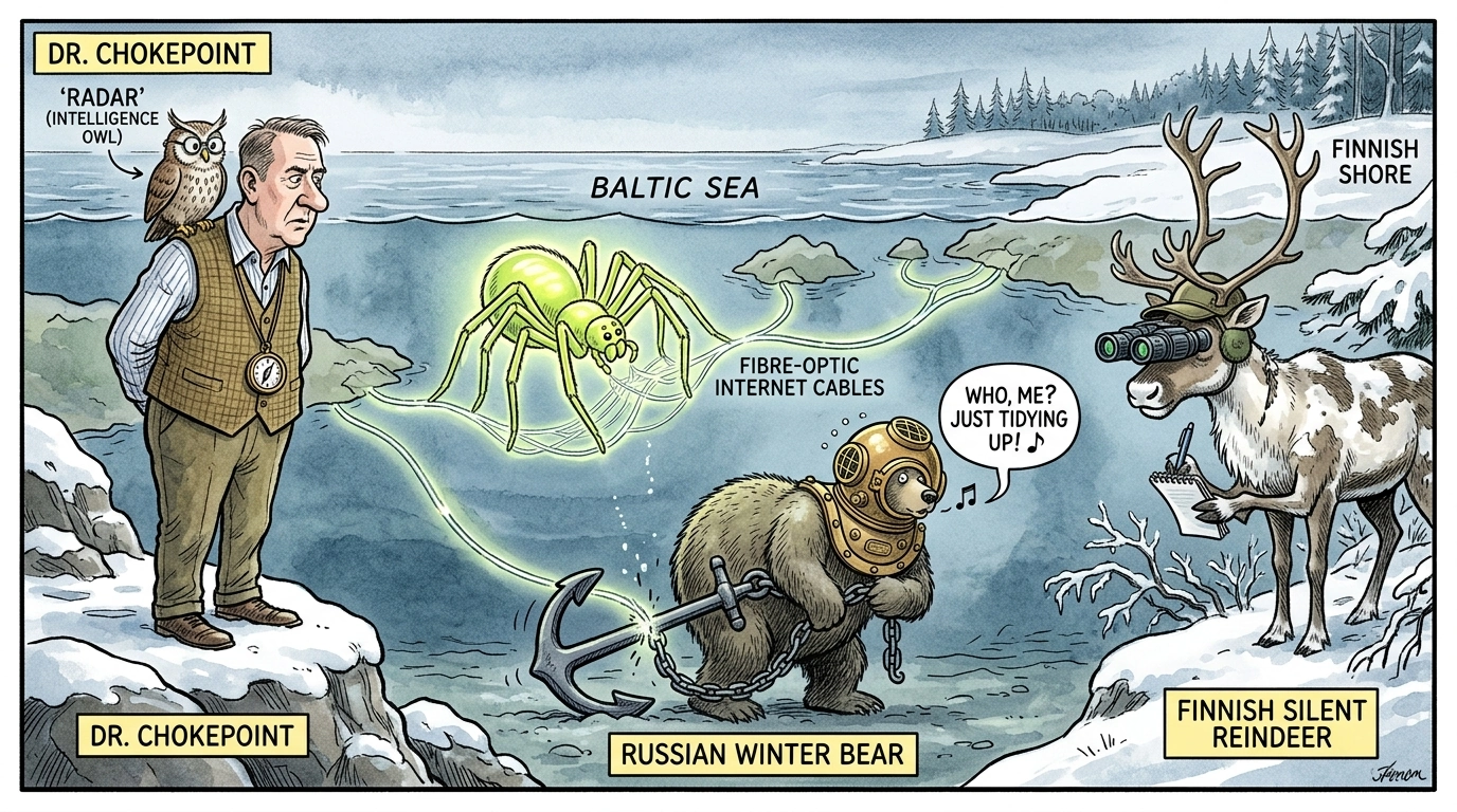
Maritime surveillance and open-source intelligence tracking in the Baltic Sea have documented an increasing volume of 'dark vessels'—commercial cargo ships and trawlers operating with disabled or spoofed Automatic Identification System (AIS) transponders—loitering near critical subsea telecommunications and energy interconnectors.
Baltic Sea Subsea Cables: Architecture, Bandwidth, and Route Map
Maritime surveillance and open-source intelligence tracking in the Baltic Sea have documented an increasing volume of 'dark vessels'—commercial cargo ships and trawlers operating with disabled or spoofed Automatic Identification System (AIS) transponders—loitering near critical subsea telecommunications and energy interconnectors. Following recent incidents of suspected subsea cable severing and anchor-dragging sabotage, NATO Baltic littoral states have expanded coordinated naval patrols and underwater acoustic monitoring networks. The vulnerability of subsea data conduits highlights the acute exposure of modern digital infrastructure to plausible-deniability hybrid operations, where non-military commercial vessels are weaponized to conduct asymmetric sabotage against allied critical communications.
AIS Dark Vessel Tracking: Methodologies for Identifying Infrastructure Threats
Strategic intelligence assessments in the critical infrastructure vulnerabilities arena indicate shifting operational dynamics. Regional defense planners and commercial stakeholders are adjusting risk postures in response to evolving threat vectors and deterrence thresholds.
Expert Analysis — Priya Nair
"OSINT Analyst & Intelligence Researcher: The dataset presented here underscores the accelerating shift in standard operational doctrines in the critical infrastructure vulnerabilities arena. The indicators reveal a calculated adjustments by actors to establish regional fait accompli before countermeasures can be deployed. Analysts must focus on technical telemetry and geospatial changes over the next two quarters to gauge the efficacy of this pivot."
Related Domain Analysis: Explore our coverage of Disinformation & Cognitive Operations.
Topical Bibliography & References
- Christian Bueger & Tobias Liebetrau (2024). "Subsea Cables and Cloud Security in Hybrid Warfare" International Affairs. [Source Link ↗]
- Priya Nair (2025). "Open-Source Maritime Tracking and Undersea Critical Infrastructure Forensics" ICS Policy Papers. [Source Link ↗]
Key Takeaways
- Verifiable data in the critical infrastructure vulnerabilities domain points to structural realignment.
- Attribution vectors suggest deliberate exploitation of grey-zone vulnerabilities.
- Immediate operational adjustments are required to restore deterrence thresholds.
- Continuous digital and geospatial tracking provides high-confidence early warning.
Need a Deeper Operational or Threat Assessment?
International Conflict Studies provides custom open-source intelligence dossiers, geopolitical risk modeling, and critical infrastructure threat diagnostics for enterprise and sovereign decision-makers.
Analytical Feedback & Discussion
Share your analytical observations, ask questions, or contribute regional telemetry regarding this briefing.