Satellite Imagery & Geospatial Intelligence
How Hidden Nuclear Programs Are Discovered: Intelligence, IAEA Verification and the Deir el-Zour Case
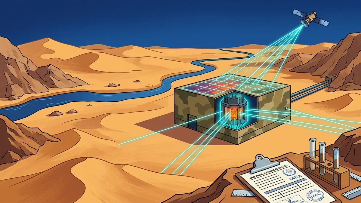
An authoritative strategic intelligence guide on how secret nuclear reactors and enrichment facilities are discovered: multi-spectral satellite imagery, environmental radionuclide sampling, water intake thermal telemetry, and the IAEA Deir el-Zour case study.