🔍 Hub Directory
Intelligence & OSINT Analysis
Open-source intelligence methodologies applied to conflict monitoring, satellite imagery interpretation, and digital network tracing.
Hub & Spoke Architecture
Intelligence
Sub-Category Indexes
Satellite Imagery & Geospatial Intelligence
Interpreting commercial and declassified satellite imagery to verify troop movements, construction projects, and environmental impact of conflicts.
Social Media Intelligence (SOCMINT) Tracking
Techniques for monitoring conflict actors across Telegram, Twitter/X, and dark web forums — with verifiable methodology.
Network Tracing & Verification Methodologies
IP attribution, DNS forensics, persona mapping, and fact-checking frameworks for the digital intelligence analyst.
Recent Intelligence Briefs
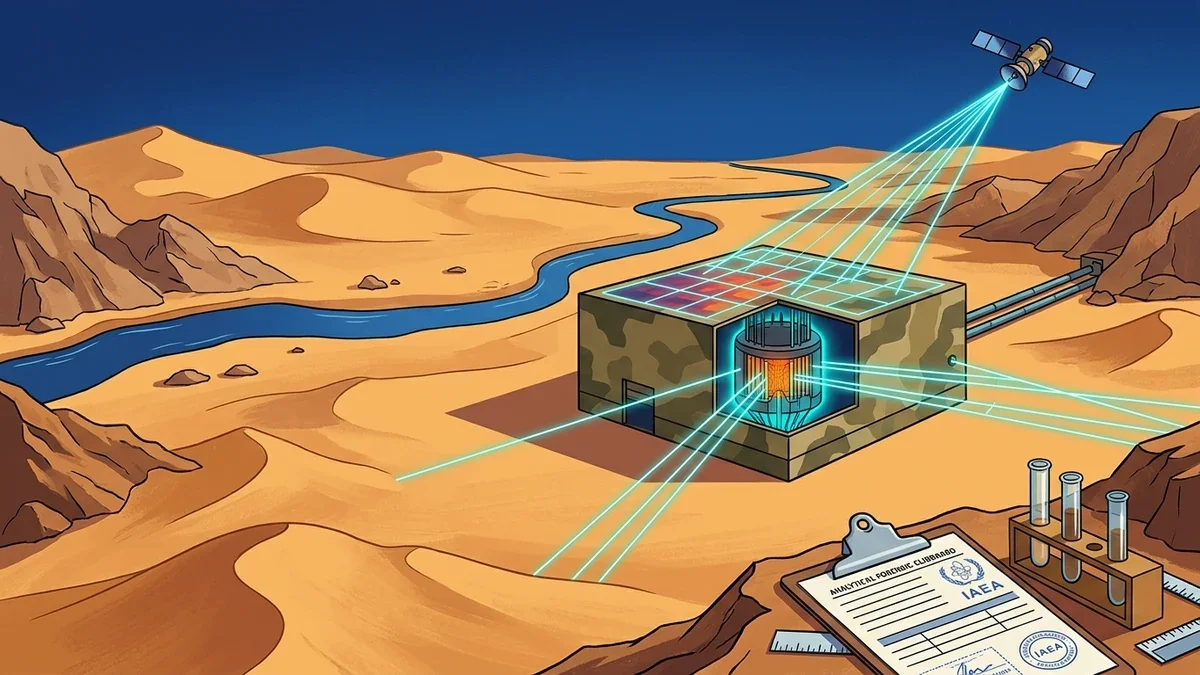
How Hidden Nuclear Programs Are Discovered: Intelligence, IAEA Verification and the Deir el-Zour Case
An authoritative strategic intelligence guide on how secret nuclear reactors and enrichment facilities are discovered: multi-spectral satellite imagery, environmental radionuclide sampling, water intake thermal telemetry, and the IAEA Deir el-Zour case study.
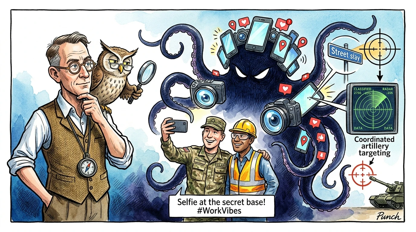
The Stalker’s Art: What Is SOCMINT, How Digital Vanity Kills Armies, and Why Nothing Is Ever Private
A masterclass on Social Media Intelligence (SOCMINT), visual geolocation, chronolocation, OPSEC failures, and how digital vanity compromises military and critical infrastructure.
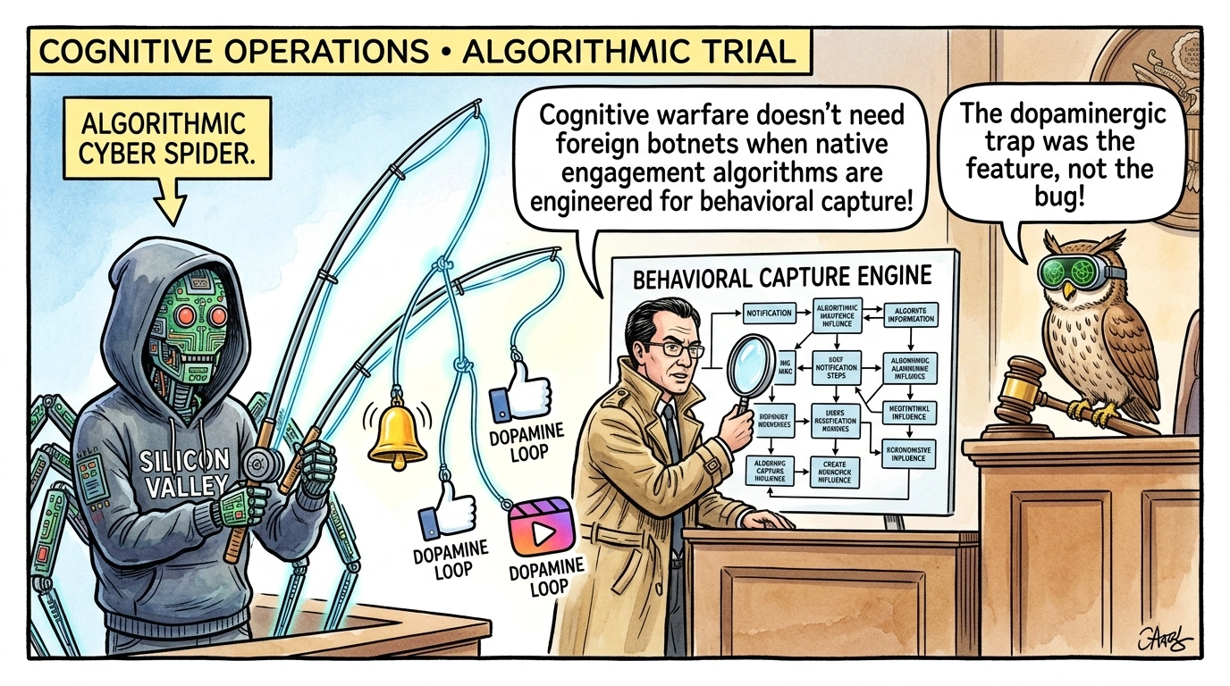
Meta Algorithmic Behavioral Capture Trial Opens: Implications for Cognitive Operations and SOCMINT
A landmark federal trial has commenced in the United States examining allegations that Meta intentionally engineered algorithmic feedback loops and dopaminergic behavioral capture mechanisms…
China’s Asian Affairs Reshuffle
The execution of China’s regional strategy is shaped by administrative and diplomatic personnel shifts within the Ministry of Foreign Affairs. The primary state actors are the People’s Repub…
Topical Intelligence Queries & FAQs
What is Open-Source Intelligence (OSINT) and how is it used in strategic defense?
OSINT encompasses the collection, analysis, and verification of publicly available data—including satellite imagery, flight transponders, trade manifests, and digital signals—to generate actionable geopolitical intelligence.
How does satellite geospatial intelligence (GEOINT) verify troop and naval movements?
High-resolution optical and synthetic aperture radar (SAR) satellites detect changes in military encampments, vessel berths, runway extensions, and fortification construction with sub-meter precision.
How does ICS ensure provenance and integrity in digital open-source investigations?
Every intelligence brief cites primary source URLs, digital timestamps, and peer-reviewed academic DOIs, maintaining full epistemic traceability from raw evidence to final risk assessment.